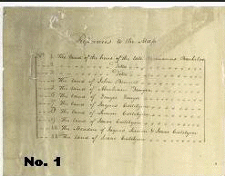
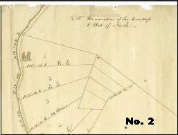
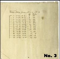
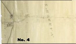
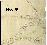
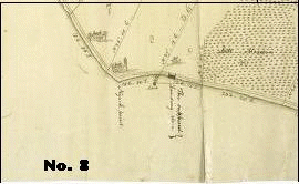
 For a closer look by section:
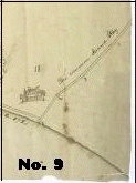
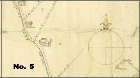
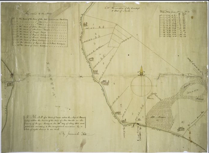
1804 NYACK (NEW UTRECHT) PATENT
{New Utrecht, Brooklyn
New Utrecht was first settled in 1652, organized as a town by Governor Stuyvesant in 1662,
and recognized as a town by the State of New York in 1788.
It was located along the shore from Bay Ridge to Gravesend, in southwestern Brooklyn today.
Named after a town in the Netherlands, it was built originally to counter moves by the
English against Dutch settlements on Long Island}
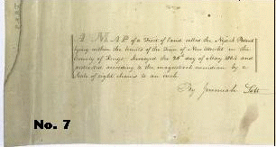
Lott, Jeremiah -- Surveyor
Map of a tract of land called the Nyack Patent lying within the limits of the
town of New Utrecht in the County of Kings.
Surveyed the 26th day of May 1804 and protracted according to the magnetical
meridian by a scale of eight chains to an inch by Jeremiah Lott.
Published Date:1804.
For a closer look by section: